File:Kiplingseastcoast2.JPG

Summary
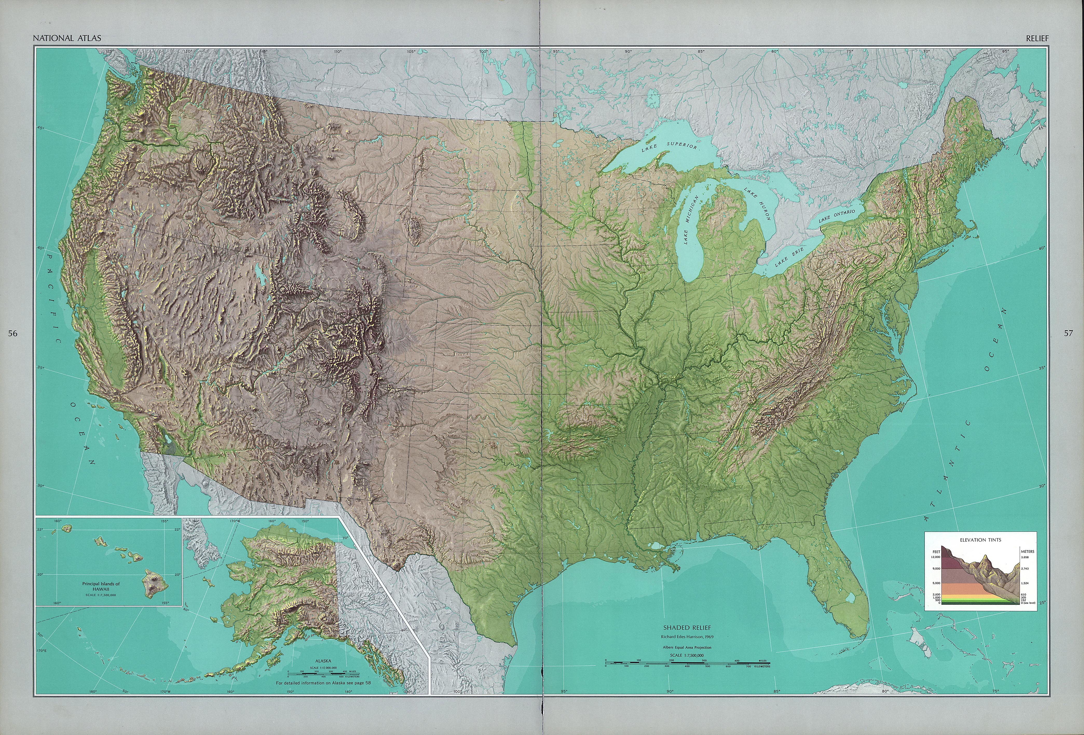
This is a reduced, cropped and version of a physical map of the United States which is in the public domain(<a rel="nofollow" class="external autonumber" href="http://www.lib.utexas.edu/maps/faq.html">[1]</a>), and downloaded from the University of Texas website: <a rel="nofollow" class="external autonumber" href="http://www.lib.utexas.edu/maps/national_atlas_1970/ca000043.jpg">[2]</a>The map was then annotated by me (<a href="https://en.wikipedia.org/wiki/User:Sanjay_Tiwari" class="extiw" title="en:User:Sanjay Tiwari">Sanjay Tiwari</a> 02:42, 13 October 2006 (UTC)) and is now being released to the public domain.
Licensing
Lua error in package.lua at line 80: module 'strict' not found.
File history
Click on a date/time to view the file as it appeared at that time.
| Date/Time | Thumbnail | Dimensions | User | Comment | |
|---|---|---|---|---|---|
| current | 20:14, 6 January 2017 | | 501 × 574 (114 KB) | 127.0.0.1 (talk) | <p>This is a reduced, cropped and version of a physical map of the United States which is in the public domain(<a rel="nofollow" class="external autonumber" href="http://www.lib.utexas.edu/maps/faq.html">[1]</a>), and downloaded from the University of Texas website: <a rel="nofollow" class="external autonumber" href="http://www.lib.utexas.edu/maps/national_atlas_1970/ca000043.jpg">[2]</a>The map was then annotated by me (<a href="https://en.wikipedia.org/wiki/User:Sanjay_Tiwari" class="extiw" title="en:User:Sanjay Tiwari">Sanjay Tiwari</a> 02:42, 13 October 2006 (UTC)) and is now being released to the public domain. </p> |
- You cannot overwrite this file.
File usage
The following page links to this file: