Mindoro Strait

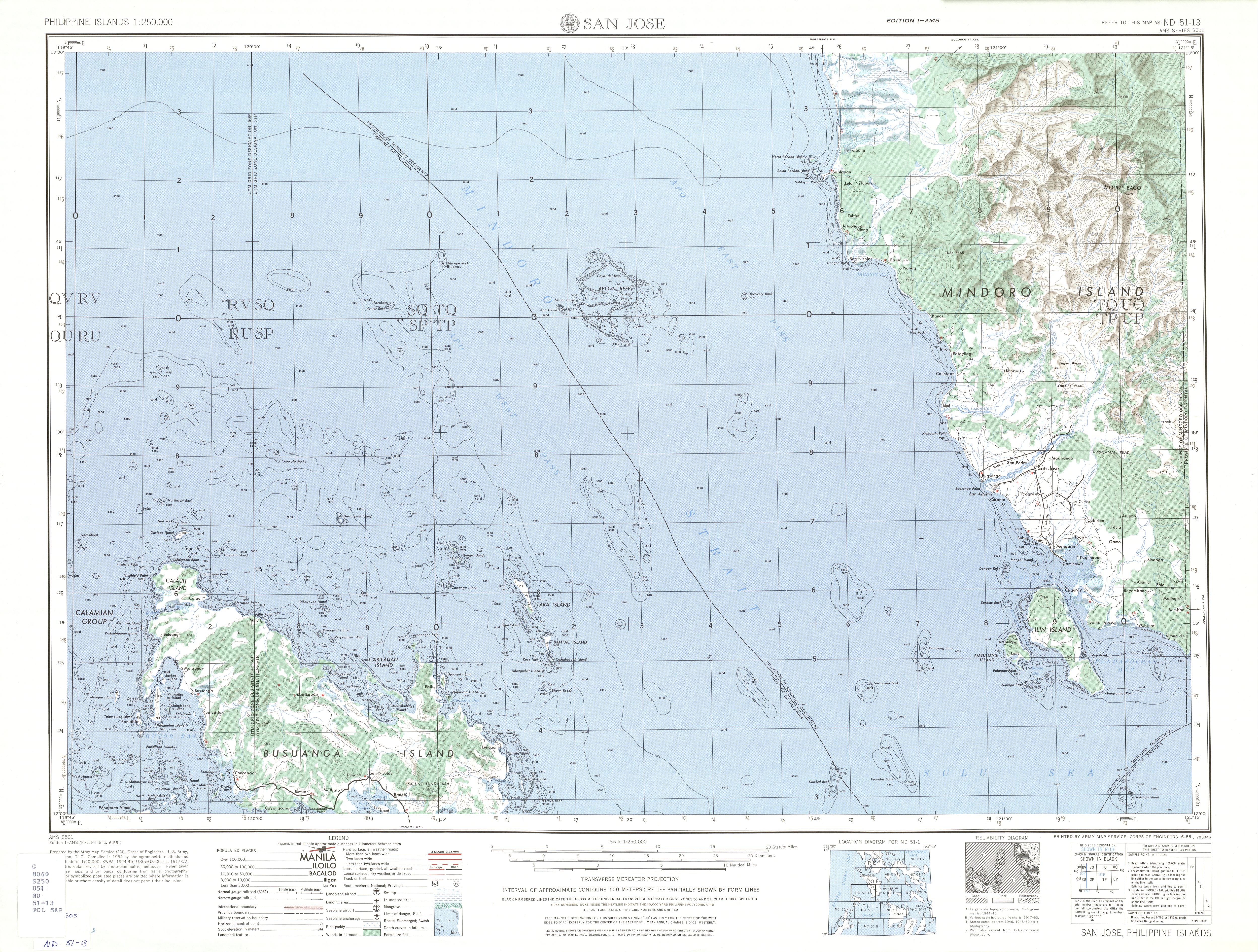
The Mindoro Strait (Filipino: Kipot ng Mindoro) is one of the straits connecting the South China Sea with the Sulu Sea in the western Philippines.[1] It separates Mindoro Island from Busuanga Island (one of the Calamian Islands of Palawan Province). Located between the two islands is the Apo Reef, the largest coral reef system in the Philippines.[2] The reef divides the strait into the Apo East Pass and the Apo West Pass.[3]
The Mindoro Strait is part of an alternate route for ships passing between the Indian and Pacific oceans and a common one for those exceeding the Malaccamax size and are therefore incapable of using the Strait of Malacca.
Modern bathymetric soundings have shown that the centers of the Mindoro Strait and the Sibutu Passage are both deep enough that they probably existed during the last ice age, thus contradicting the favored H. Otley Beyer's theory that that the first settlers of the Philippines came through land bridges around that period. If verified, the earliest people of the country would have needed boats to cross the open sea to reach the islands.
See also
- Balabac Strait - another strait connecting the South China Sea with the Sulu Sea
References
- ↑ Lua error in package.lua at line 80: module 'strict' not found.
- ↑ Lua error in package.lua at line 80: module 'strict' not found.
- ↑ U.S. Corps of Engineers (1954). "San Jose (topographical map)". University of Texas in Austin Library. Retrieved on 2014-09-24.
External links
- A nautical chart of the area (soundings in fathoms)

Lua error in package.lua at line 80: module 'strict' not found.
<templatestyles src="Asbox/styles.css"></templatestyles>
|
This article about a Philippine location is a stub. You can help Wikipedia by expanding it. |